
Flood extent and history
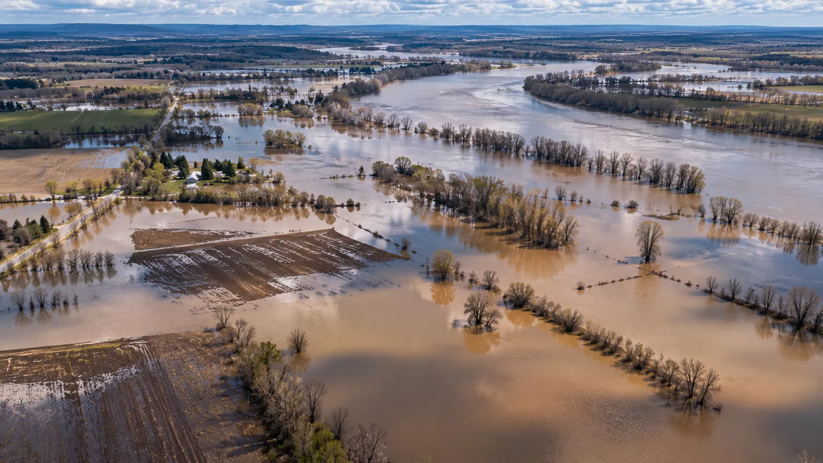
Water mapped from radar, through cloud.
- DATA
- Sentinel-1 radar
- OUTPUTS
- Flood extent maps, recurrence map, report
- TYPICAL TIME
- 3–4 weeks
What you can do with it
- 01Map a flood while it is happening, even under cloud
- 02See which areas have flooded again and again
- 03Document past events for planning or underwriting
- 04Compare a new event with the record
METHOD
How it is made
Every number names its data and its limits.
- DATA USED
- Sentinel-1 radar passes before, during and after each event; Sentinel-2 where skies were clear.
- METHOD OR MODEL
- Open water detected from radar backscatter per pass; extents stacked over years into a recurrence map.
- ACCURACY AS MEASURED
- Measured on your data during discovery: we compare the result against any ground records you hold before anything is delivered.
- WHAT THIS DOES NOT TELL YOU
- Extent on the day of the pass, not depth or damage. Water under trees and in narrow streets is harder to see from radar.
- LANGUAGES
- English and French
WHAT YOU RECEIVE
Maps and data in your formats
- Flood extent GeoTIFF per event
- Recurrence GeoPackage
- CSV event list
- PDF report
WHAT WE NEED FROM YOU
- Your area of interest
- Dates of known floods
- Any gauge or damage records you hold
WHAT WE PREPARE
- Radar scene search per event
- Water detection and checks
- Recurrence map
- Report and layers
Steps and time
- Discovery3–4 weeksOne past flood mapped and compared with your records
- Build2–3 weeksPipeline for your region
- RunPer eventMap within days of a pass
DISCUSS THIS SOLUTION
Tell us about your area
We reply with a first view on whether this fits, and what discovery would cover.