
GEOSPATIAL AI CONSULTANCY · OTTAWA · EN/FR
SatellitedataandAIyoucantrust
A geospatial AI consultancy in Ottawa. We plan, build and run the systems that turn satellite and land data into decisions.
Discuss your projectWHAT WE DO
Plan, see, predict, ask, run
Five services that join into one chain, from the first question to a system that runs through the season.
All solutions- 01 · PLAN
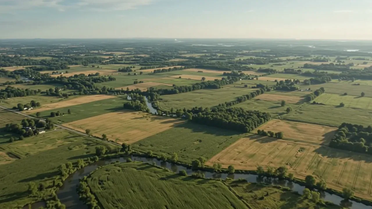
 PLANAI strategyWhere AI would pay off, what it would cost, how to start.Explore
- 02 · SEE
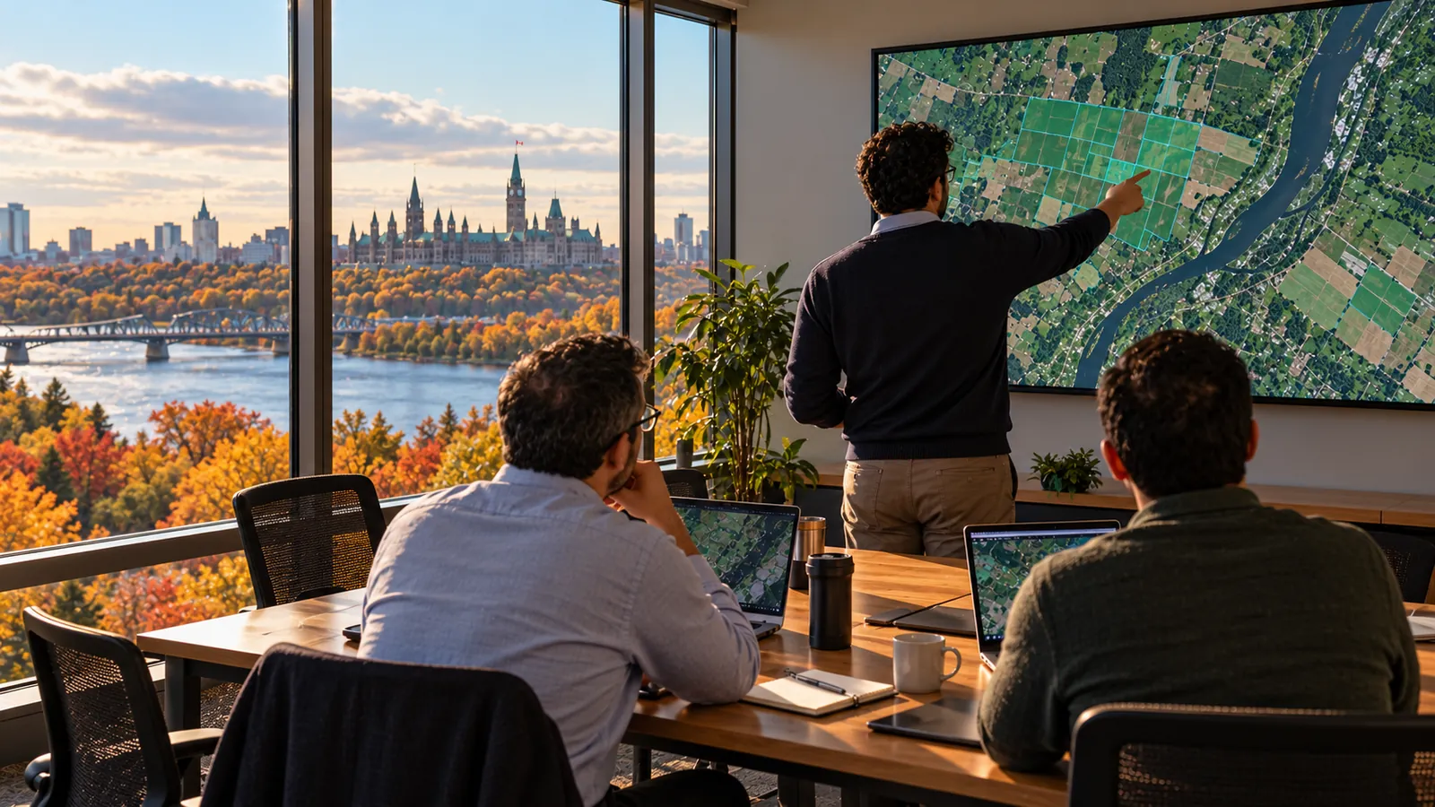
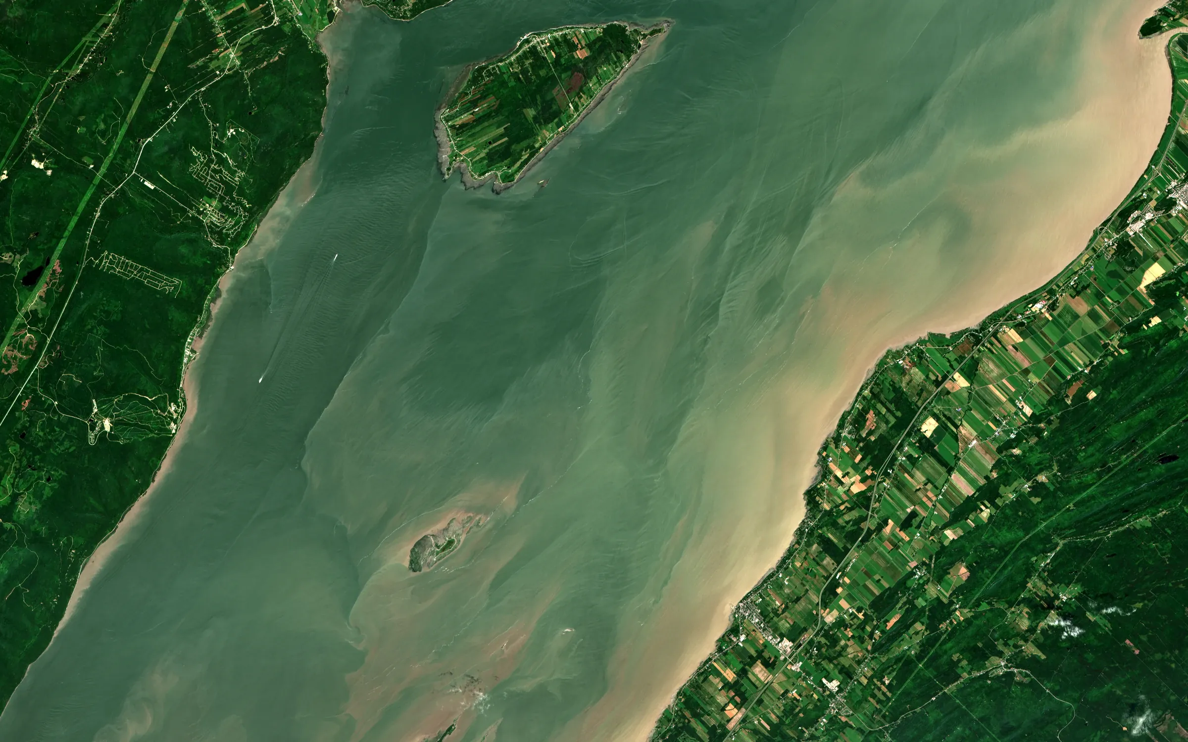 SENTINEL-2Contains modified Copernicus Sentinel data 2025Remote sensingMaps of crops, land, water and fire, and how they change.Explore
- 03 · PREDICT
 PREDICTExplainable AIForecasts where every number shows its reasons and its range.Explore
- 04 · ASK
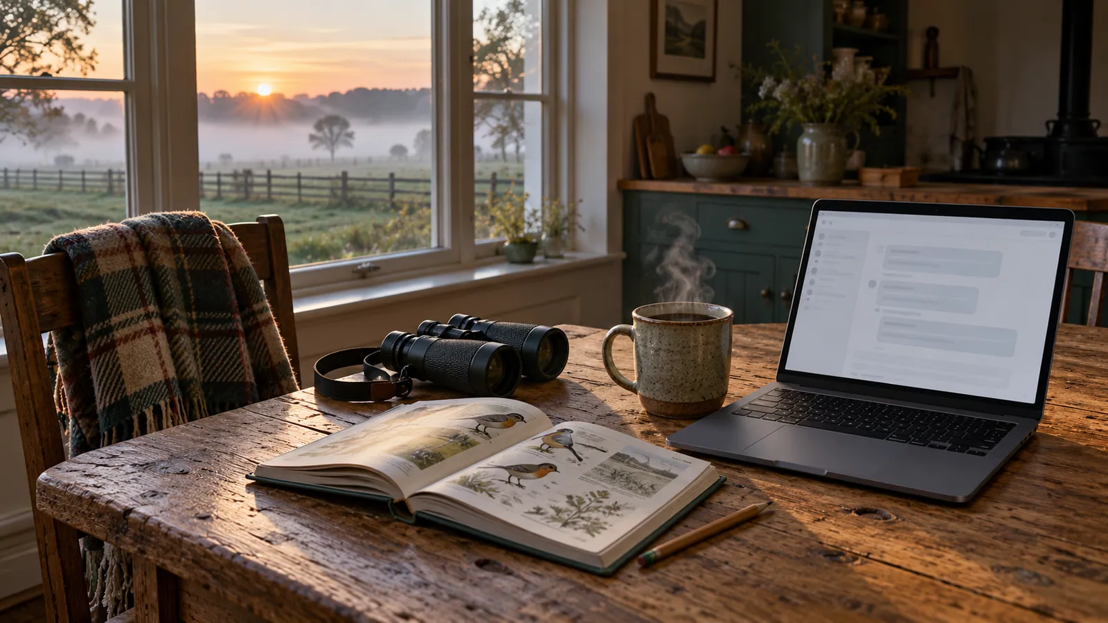 ASKAI assistantsAnswers from your documents that cite the page, or decline.Explore
- 05 · RUN
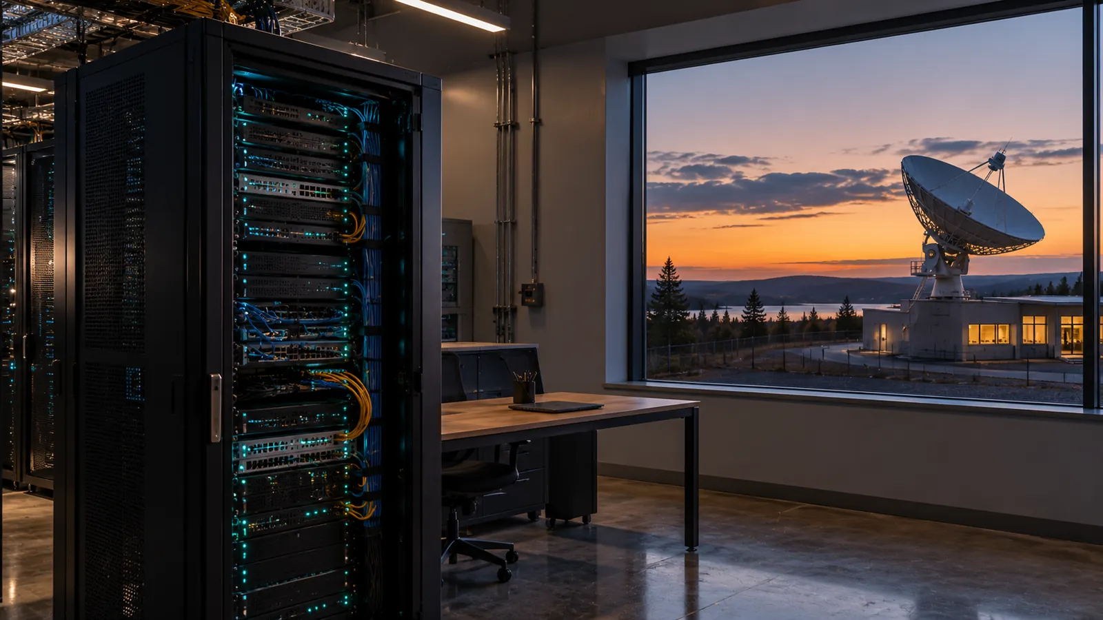 RUNData engineeringPipelines, tests and monitoring that keep models running.Explore
Who we help
Two industries where satellite data and AI already change decisions.
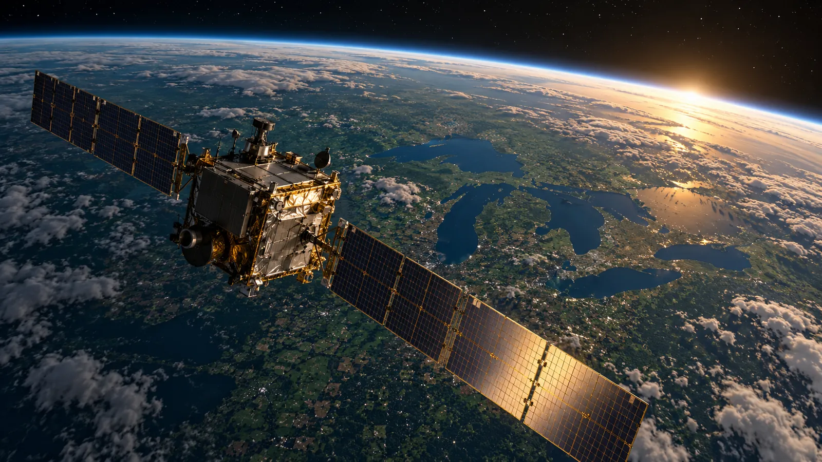
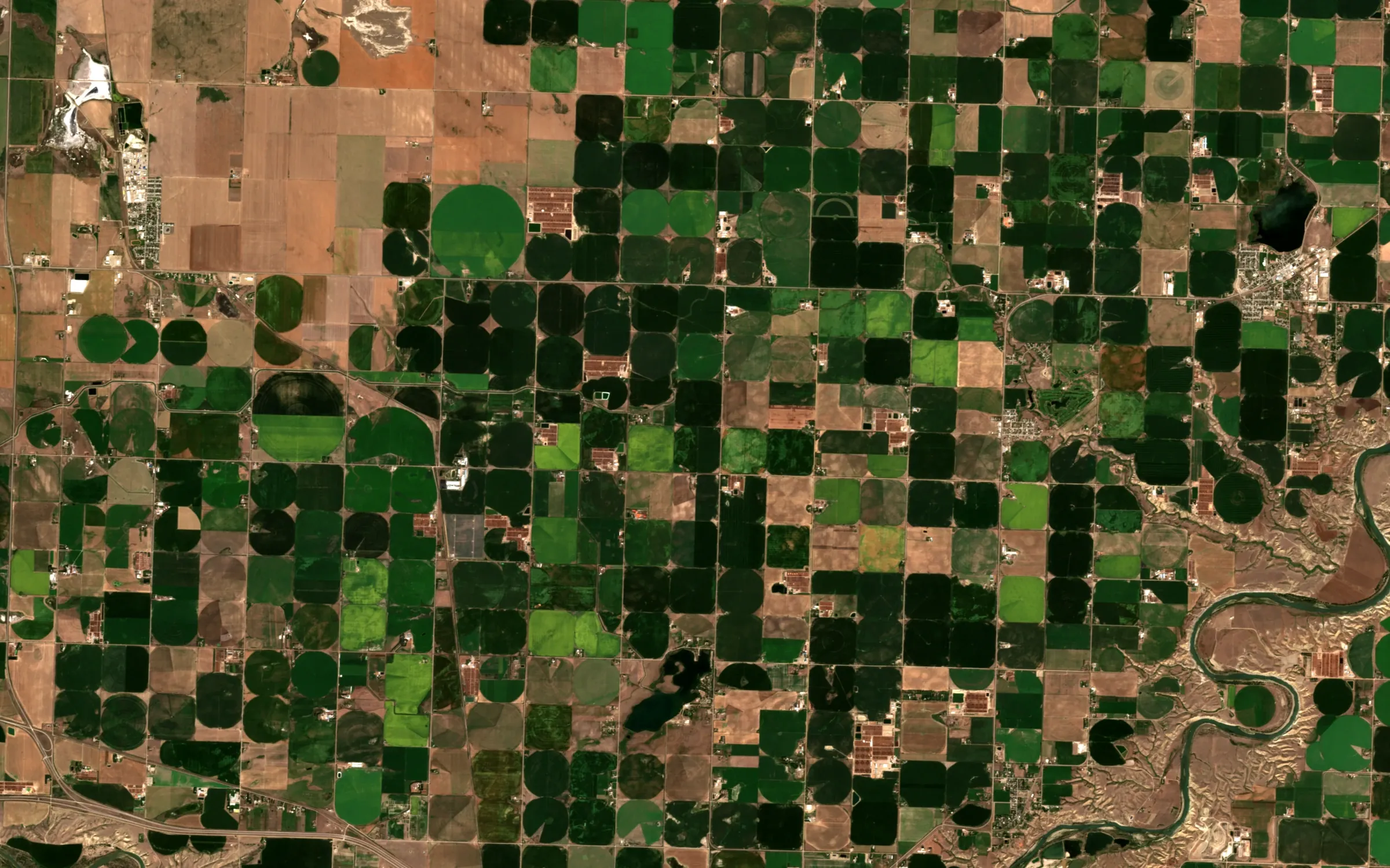
01 · PRECISION AGRICULTURE AND FOOD
Crop health on the farm, proof along the supply chain
Farms, agri-institutions, food companies and their suppliers.
- 01Crop health and yield forecasts
- 02Fertilizer zones
- 03Pest and disease risk
- 04Practice monitoring and deforestation-free sourcing checks
02 · CLIMATE RISK AND RESILIENCE
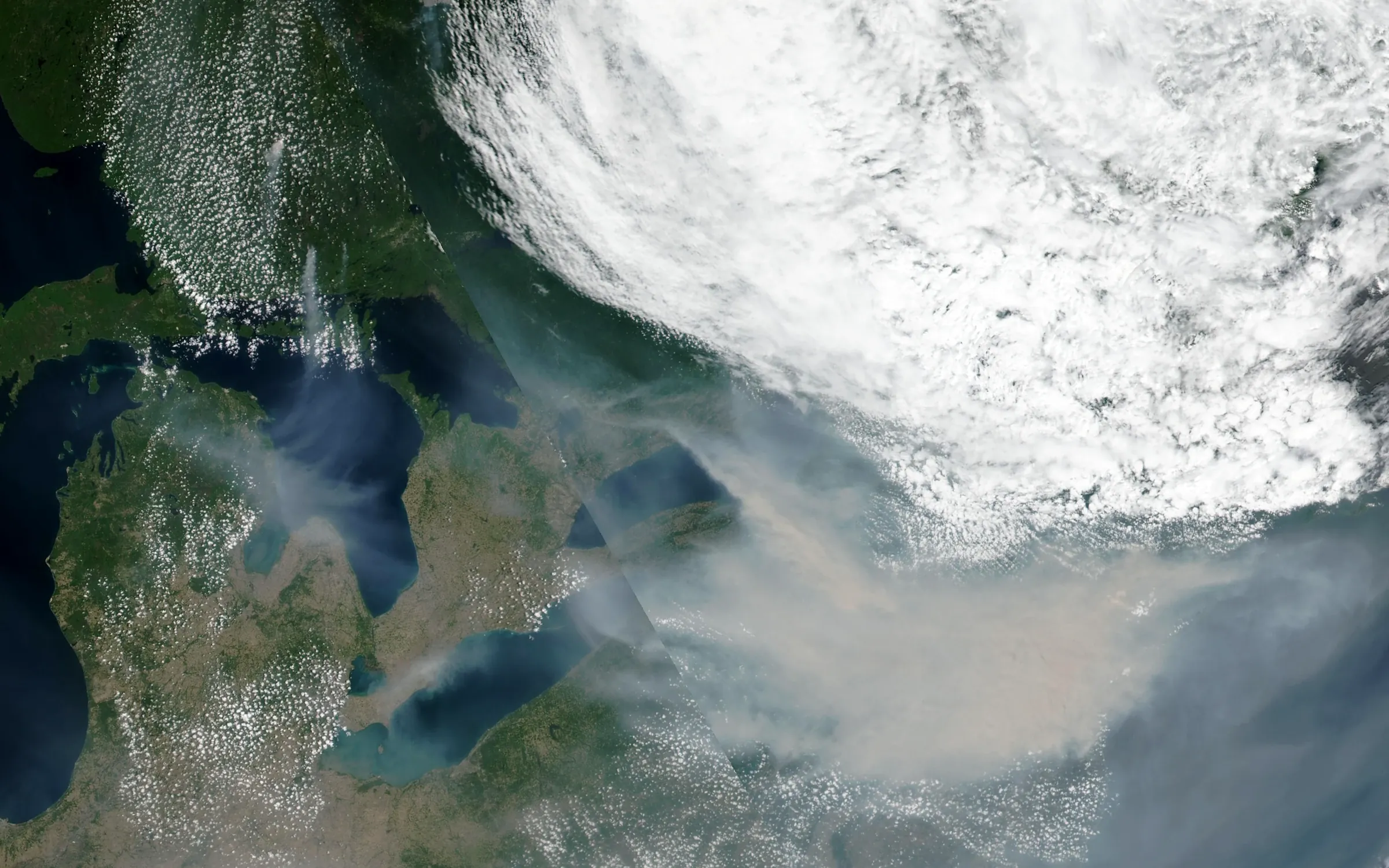
Know your exposure to flood, fire, drought and heat
Municipalities, conservation authorities, insurers and lenders.
- 01Flood mapping and flood history
- 02Wildfire exposure and recovery
- 03Drought, urban tree canopy and heat
- 04Climate risk assessments
CASE STUDY · AGRILENS
One platform, all five services
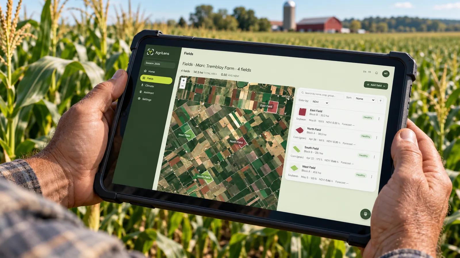
Crop intelligence for Ontario farms. We planned it, built the satellite pipeline and models, explained every forecast, added an assistant, and keep it running through the season.
Some screens show Esri World Imagery © Esri, Maxar, Earthstar Geographics
66s
From drawing a field to its first analysis.
0.89R²
Yield forecast fit, tested on seasons the model never saw.
6
Open data sources, each named.
EN/FR
Every map, report and answer.
Built on 20+ years in satellite data, GIS and scientific software.
Crop intelligence for Ontario farms, run through a full season.
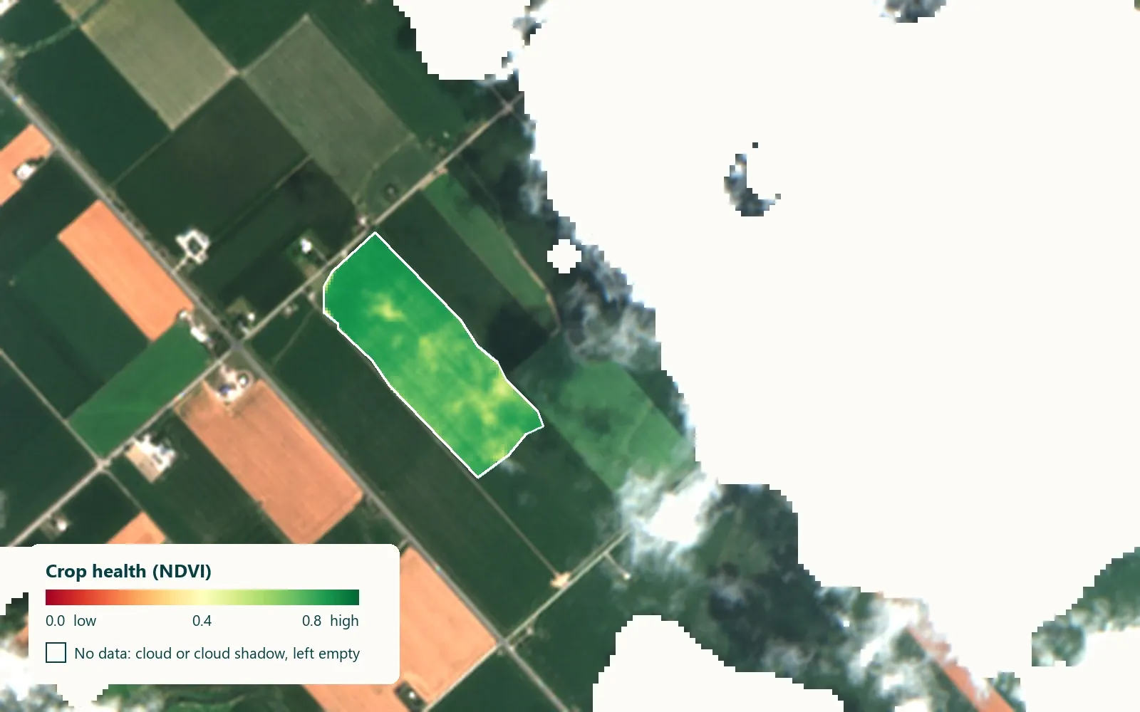
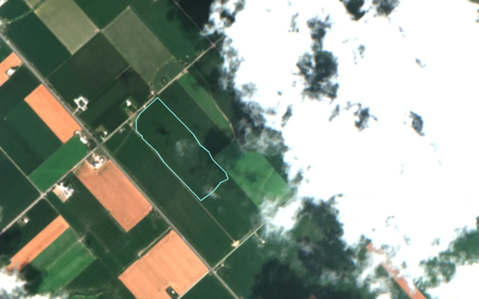
SAME FIELD, SAME DAY
One field in true colour and in crop health
Drag to compare. Cloudy pixels are left out, not guessed.
Every number here can be checked.
Each map names its date and sensor. Each forecast shows its range and the factors behind it. Where the data is missing, we say so instead of guessing.
HOW WE WORK
Start small, then build and run
- 012–4 WEEKS · FIXED SCOPE · AI STRATEGY AND READINESSDiscoveryWe test one idea on your data and tell you plainly whether it works, what it would cost, and what could go wrong.YOU GET · A working pilot or a clear no, with costs and risks
- 02IDEA TO PRODUCTIONBuildWe build the pipeline, model or assistant, with tests and documentation, and your team involved from the start.YOU GET · Code, infrastructure and documentation in your repositories
- 03MONITORING AND SUPPORTRunWe watch quality and cost, retrain when the data shifts, and support your team after launch.YOU GET · Monitoring, alerts and regular reviews
CUSTOM GEOSPATIAL AND AI PROJECTS
Have a different question about land, data or AI? Tell us — we'll say plainly whether satellite data can answer it.