
Field boundary mapping
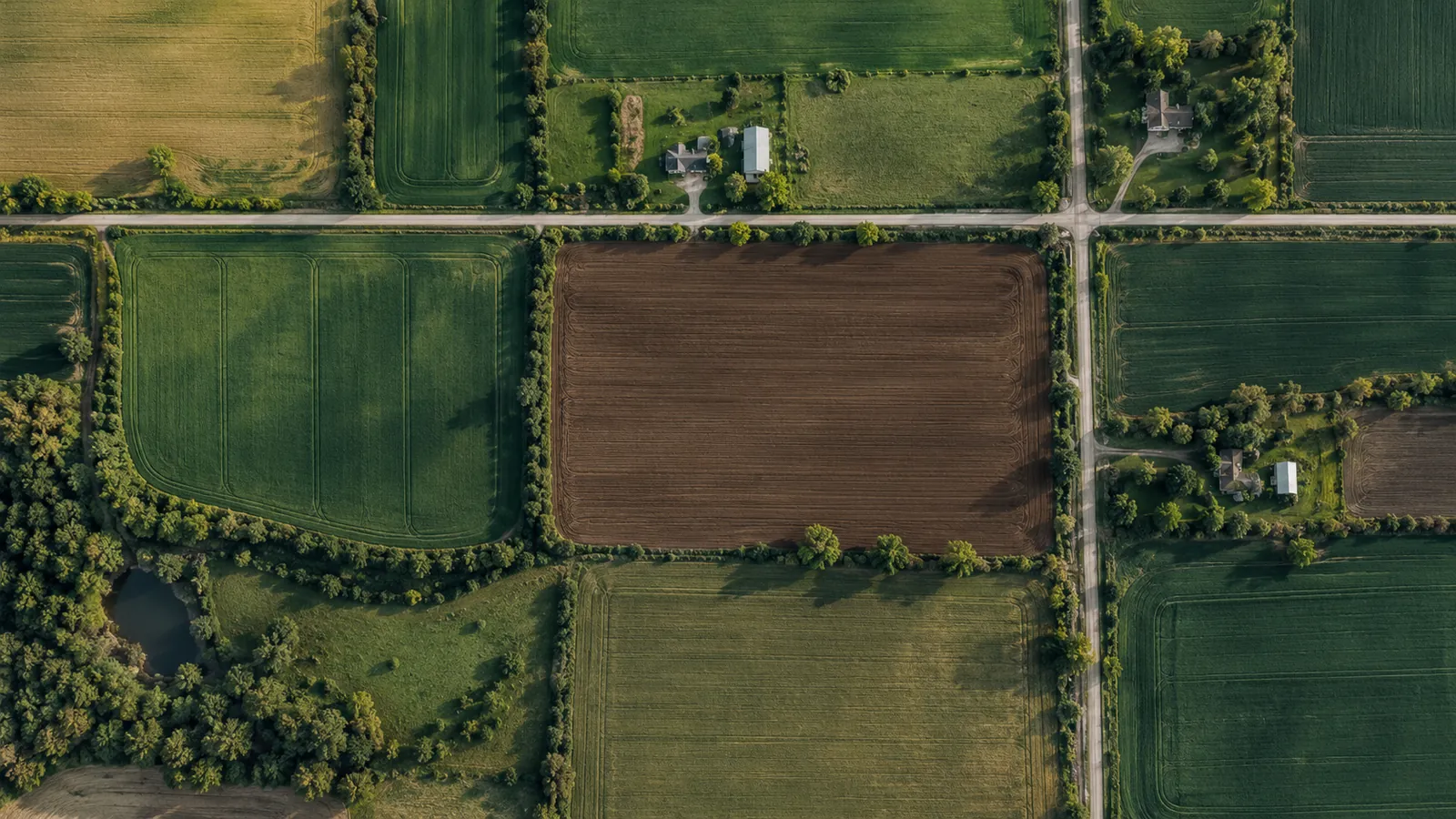
Field outlines from satellite images, ready for GIS.
- DATA
- Sentinel-2, Fields of The World model
- OUTPUTS
- Field polygons, GIS layers
- TYPICAL TIME
- 2–3 weeks
What you can do with it
- 01Get field outlines for a region without digitising them by hand
- 02Refresh outlines each season as fields merge or split
- 03Give every other analysis a clean field to work on
- 04Load the result straight into your GIS
METHOD
How it is made
Every number names its data and its limits.
- DATA USED
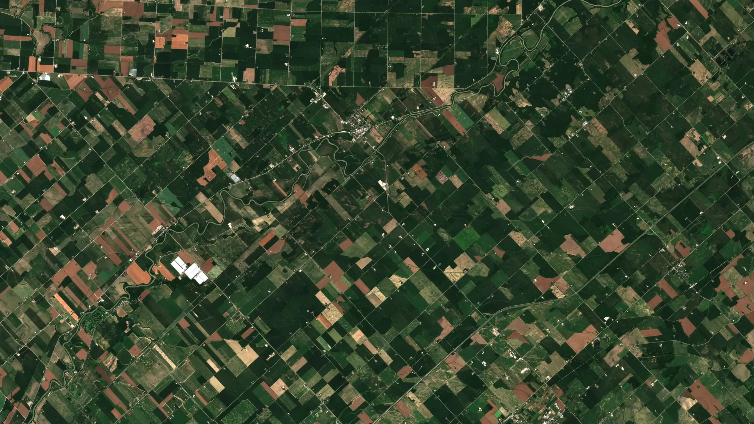
- Sentinel-2 scenes across the season; training data and model from Fields of The World.
- METHOD OR MODEL
- A field-delineation model draws candidate outlines from several clear passes; polygons are cleaned, merged and checked against the imagery.
- ACCURACY AS MEASURED
- Measured on your data during discovery: we compare the result against any ground records you hold before anything is delivered.
- WHAT THIS DOES NOT TELL YOU
- Outlines follow what is visible from space. Very small fields, strips and fields under cloud all season are flagged, not guessed.
- LANGUAGES
- English and French
WHAT YOU RECEIVE
Maps and data in your formats
- GeoPackage of field polygons
- Shapefile
- GeoJSON
- PDF overview map
WHAT WE NEED FROM YOU
- Your region
- Any existing outlines, to compare against
- The season you want mapped
WHAT WE PREPARE
- Scene selection across the season
- Model run and polygon clean-up
- Comparison with your outlines, if any
- GIS layers and overview map
Steps and time
- Discovery2–3 weeksOutlines for one region and one season
- Build2 weeksRepeatable pipeline for new regions
- RunEach seasonOutlines refreshed
DISCUSS THIS SOLUTION
Tell us about your area
We reply with a first view on whether this fits, and what discovery would cover.