
SOLUTIONS
Whatwedeliver
Maps, forecasts and reports built from open satellite, weather and soil data. Open one to see the method, the outputs and the limits.
4 of these run today in AgriLens; the others are built for you on request.
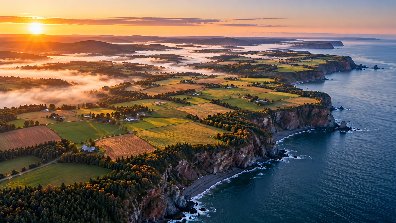
For farms and food
8 SOLUTIONS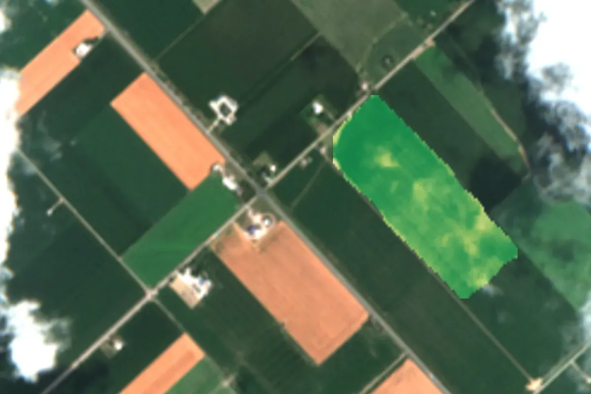 Contains modified Copernicus Sentinel data 2026LIVE IN AGRILENSCrop health mapsWhere each field grows well or falls behind, after every clear pass
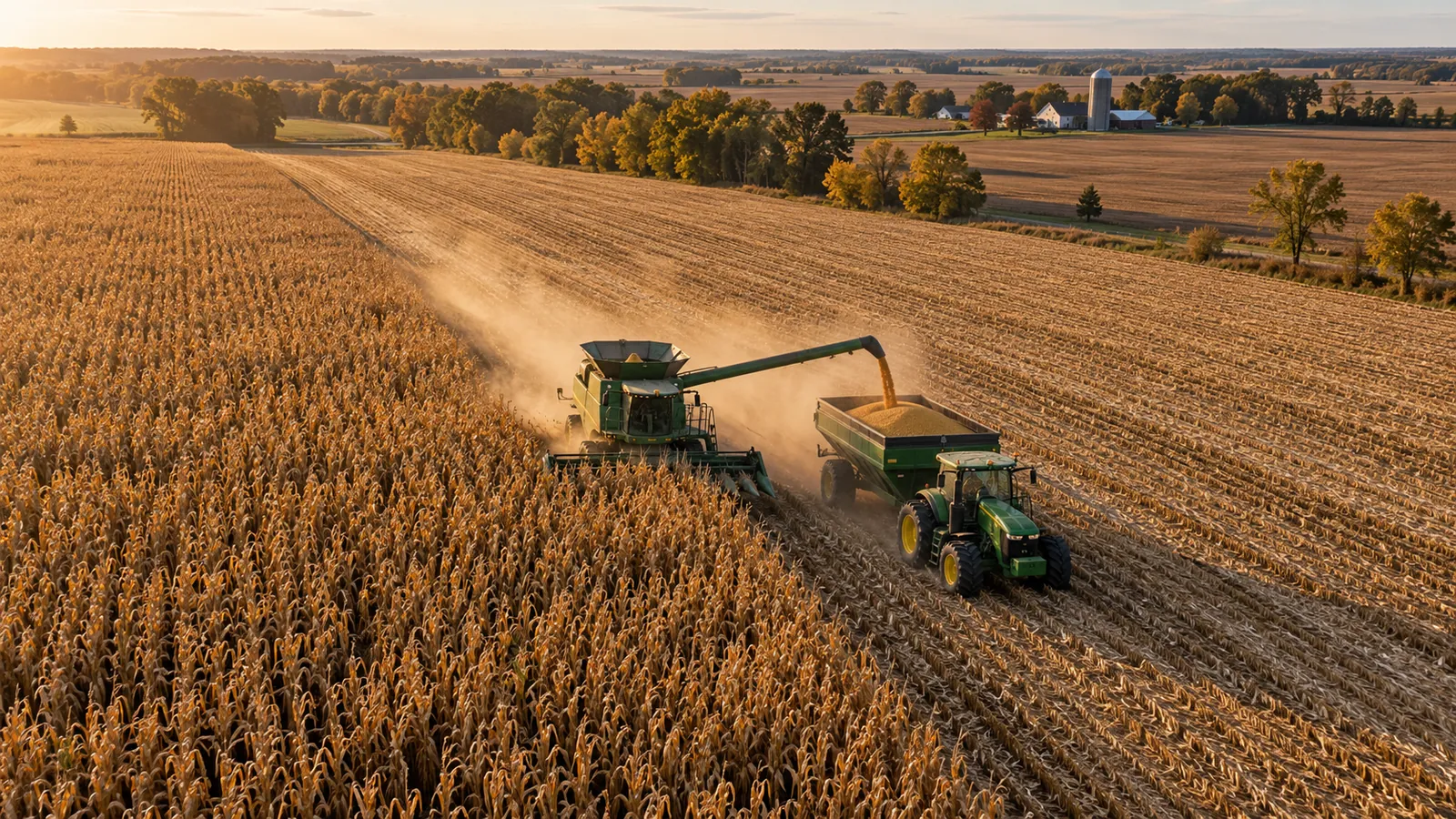 LIVE IN AGRILENSYield forecasts with reasonsA forecast per field, with a range and the factors behind it
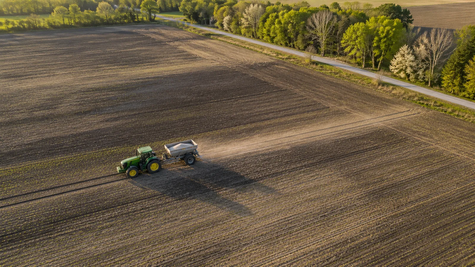 LIVE IN AGRILENSFertilizer zonesZones from red-edge imagery, with Ontario guide rates
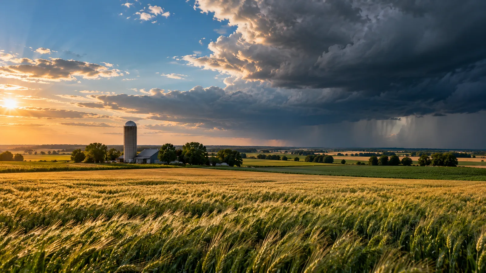 LIVE IN AGRILENSClimate outlookTemperature and rainfall scenarios to 2100 for your area
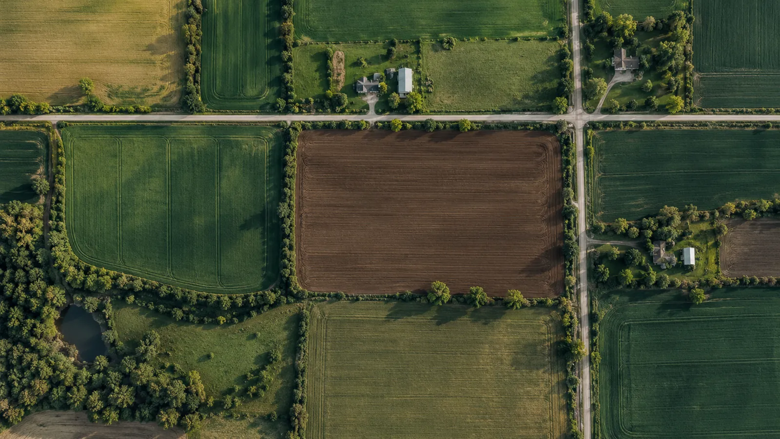 ON REQUESTField boundary mappingField outlines from satellite images, ready for GIS
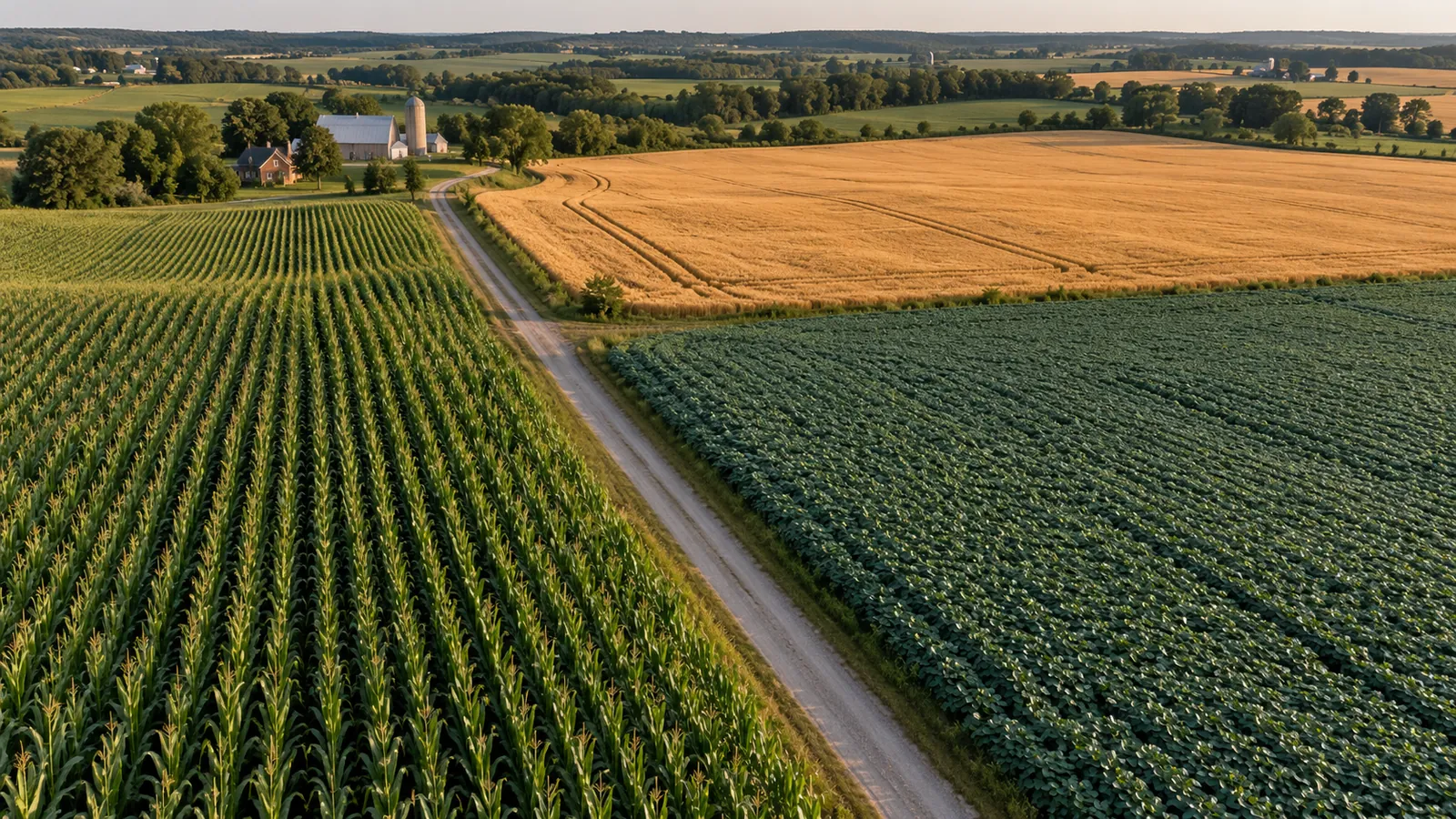 ON REQUESTCrop type mappingWhich crop grows where, accuracy reported per crop
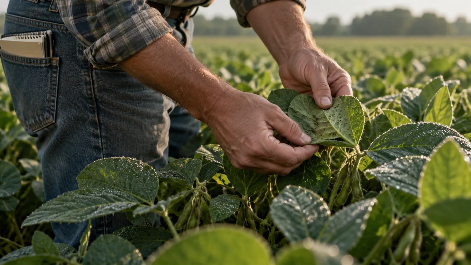 ON REQUESTPest and disease riskWeather-based risk levels that say when to scout
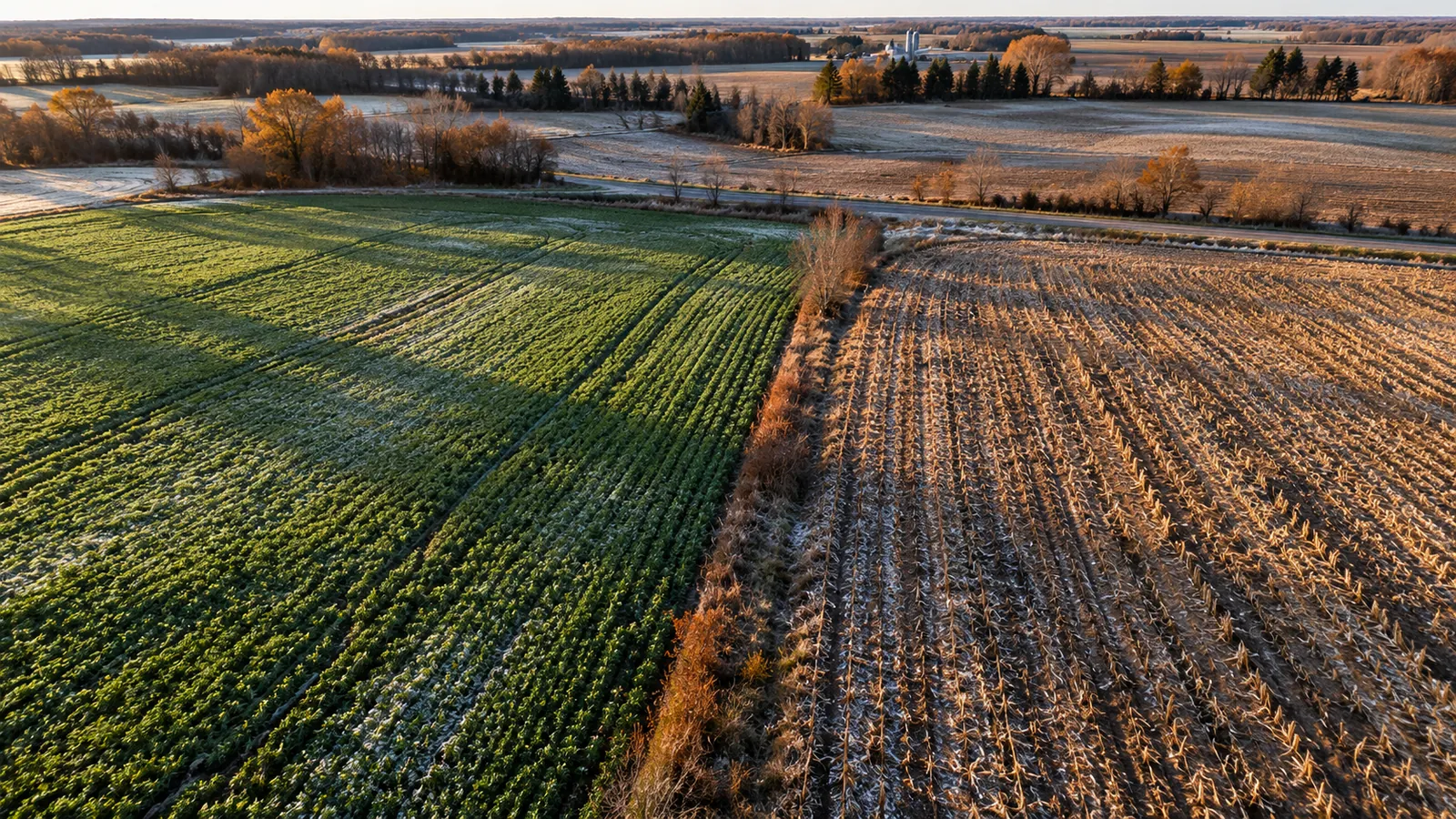 ON REQUESTCover crop and tillage monitoringPractices seen from space across a sourcing region
For climate risk
4 SOLUTIONS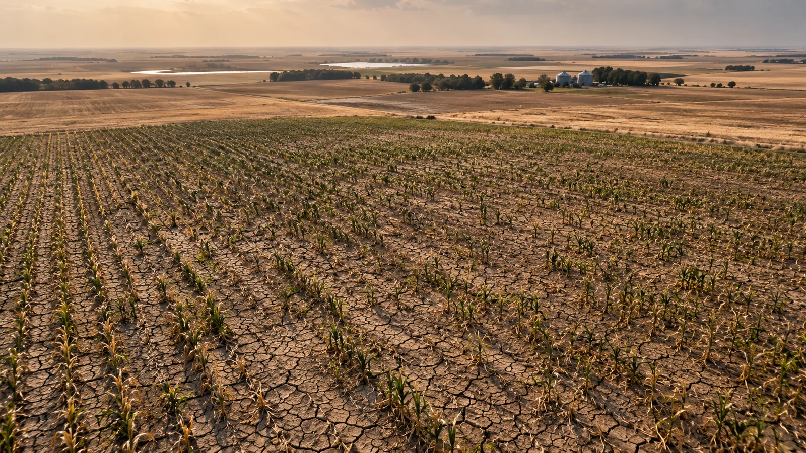 ON REQUESTDrought monitoringVegetation and moisture against normal, by region
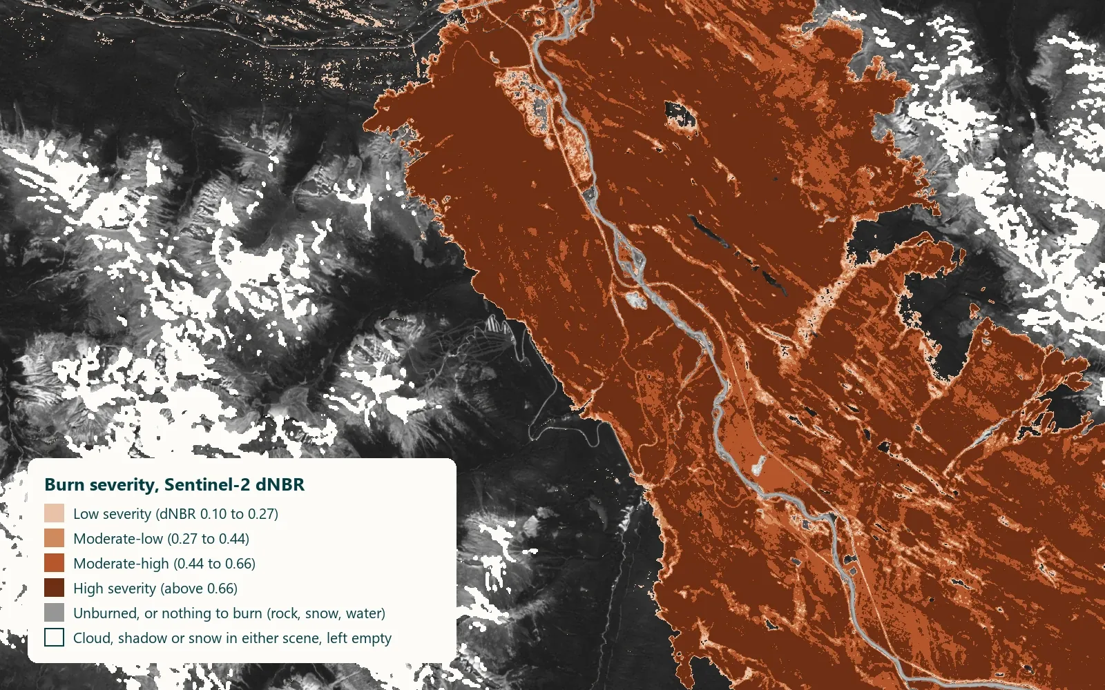 Contains modified Copernicus Sentinel data 2024ON REQUESTWildfire exposure and burn scarsPast fires, burned area and recovery near your assets
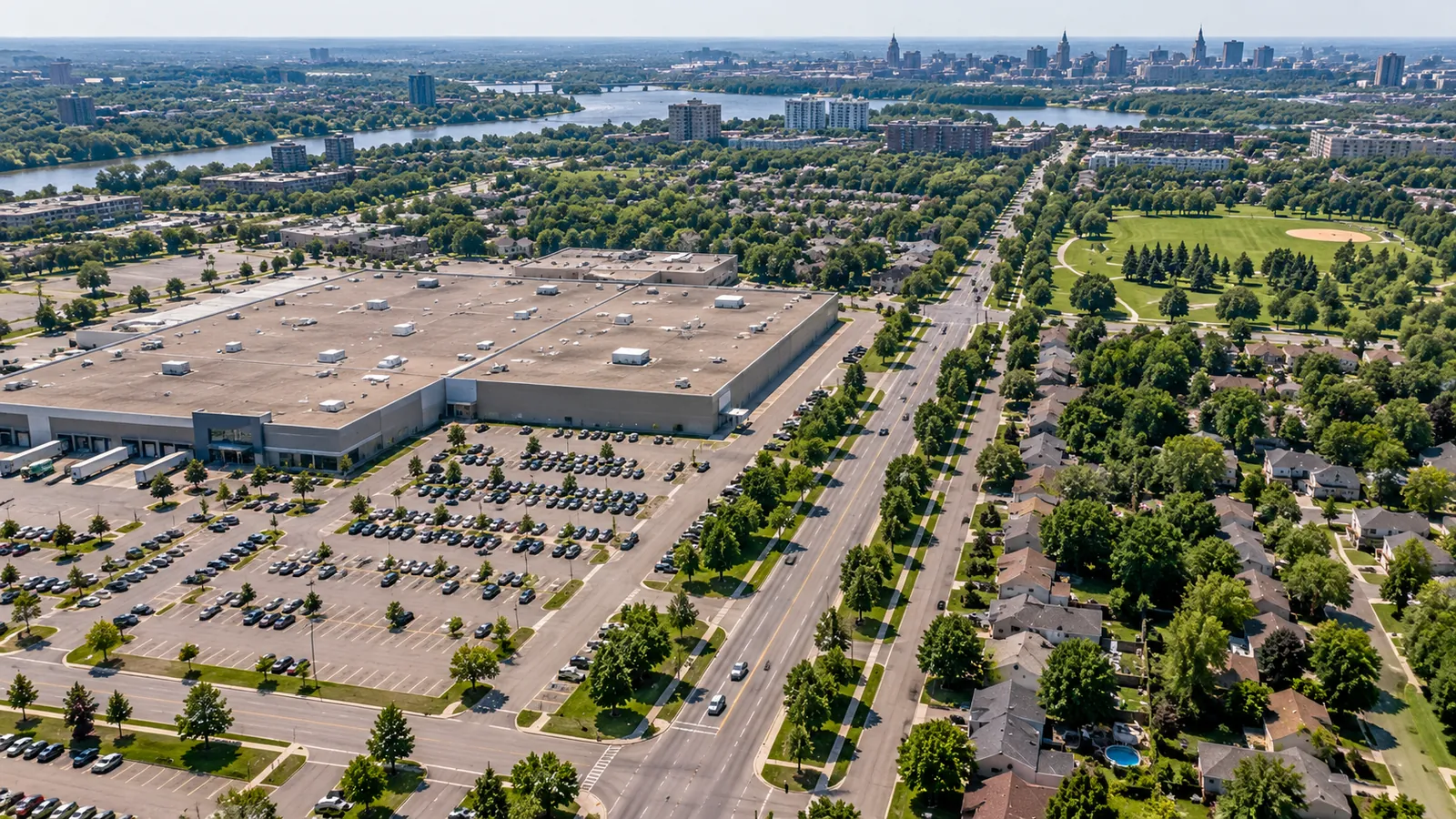 ON REQUESTUrban tree canopy and heatWhere shade is missing and surfaces run hot
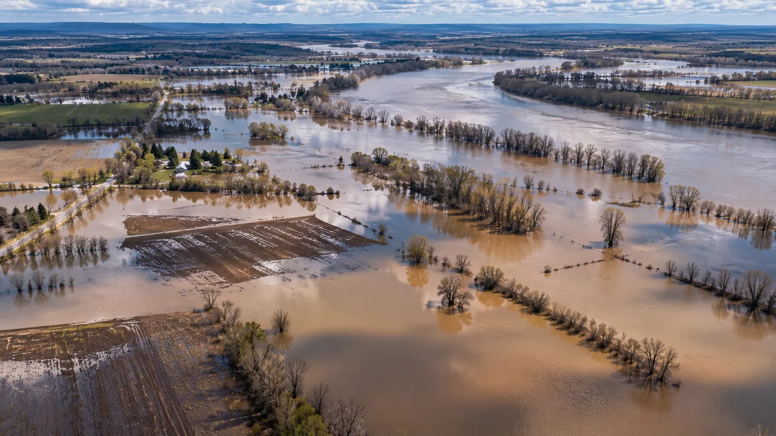 ON REQUESTFlood extent and historyWater mapped from radar, through cloud
Need something else?
Tell us the question. We'll say plainly whether satellite data can answer it, and what it would take.