02 · SEE — REMOTE SENSING
Fromsatelliteimagestoyieldforecasts
How a season of Sentinel-2 passes becomes a number you can plan with.
The Problem with Raw Satellite Data
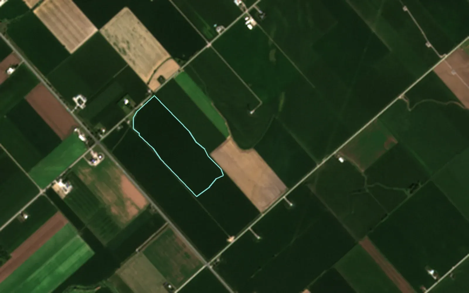
Sentinel-2 photographs every farm field in Canada every few days, in 13 spectral bands at 10 to 60 m resolution. The imagery is free. But a pixel is not a decision.
The question a farmer or agronomist actually has is narrower: what does this field need, and how sure are we?
From Pixels to Signals
Each pixel records reflected light at several wavelengths. Combined, those bands show things the eye can’t:
- Vegetation vigour (NDVI)
- Differences in growth across one field
- Stress that appears before it’s visible from the road
- Progress through the season, pass after pass
Clouds are the catch. On the AgriLens NDVI map, cloud-covered pixels are omitted, not coloured. The card shows how much of the latest scene was cloud-free, and says that the NDVI average includes cloud-affected pixels.
Where Machine Learning Enters
A model can relate those signals to outcomes, if it is trained on the right inputs. AgriLens’s yield model uses:
- Sentinel-2 NDVI for the season
- Weather from Open-Meteo
- The crop grown in the field
- The regional yield baseline: Ontario yields from Statistics Canada
- Soil properties from SoilGrids
Its R² is 0.89 on held-out years. That number is shown on the site because it can be checked.
A Forecast That Shows Its Reasons
A yield number alone asks you to trust it. AgriLens shows each forecast with:
- A 90% interval, so the uncertainty is on the screen
- The drivers behind it (SHAP), each bar raising or lowering the forecast in t/ha
From Forecast to Field Action
A forecast is useful when it leads somewhere. In AgriLens it leads to:
- Low, mid and high NDVI zones, each nitrogen rate cited to OMAFRA Pub 811, exportable to ISOBUS
- Degree-day pest forecasts, each cited to its published model
- Draft reports and prescriptions — nothing is saved until you confirm
Where This Is Going
Field-level systems are moving toward:
- Models that update with each new season
- Calibration to local conditions
- Satellite and in-field sensor feeds integrated as they arrive
Apex Intelligence builds these systems for clients. AgriLens is the working example.

Want forecasts like this for your own fields?
Tell us what you grow and where. We’ll say plainly what satellite data can show, and what it can’t.