Our Capabilities
Enterprise-grade AI infrastructure combining machine learning, remote sensing, and cloud architecture for production-ready agricultural intelligence.
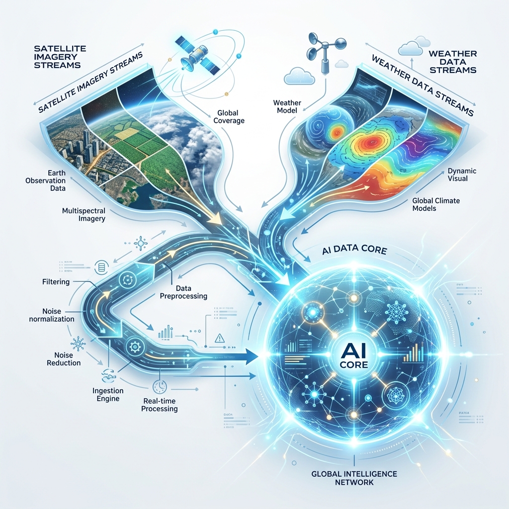
Satellite Intelligence
Process and analyze multi-spectral satellite imagery from Sentinel-2, Landsat, and commercial providers for real-time crop monitoring.
Capability Areas
Production-ready AI capabilities tuned for agricultural operations.
Satellite Intelligence
Process and analyze multi-spectral satellite imagery from Sentinel-2, Landsat, and commercial providers for real-time crop monitoring.
Explainable AI
SHAP-based model transparency that shows exactly why predictions are what they are. Built for regulatory compliance and stakeholder trust.
Foundation Models
Deploying geospatial foundation models like NASA Prithvi-EO-2.0 for state-of-the-art crop yield prediction and land use classification.
Agentic AI & LLMs
Multi-agent orchestration systems and RAG pipelines that combine large language models with domain-specific agricultural knowledge.
Cloud & MLOps
Azure-native architecture with containerized deployments, infrastructure-as-code, and automated ML model lifecycle management.
Geospatial Data Engineering
Production-grade pipelines for processing, transforming, and analyzing geospatial data at scale with open-source tools.
How It Works
From satellite data to actionable, explainable intelligence.
Need These Capabilities?
Let's discuss how our technology stack can be applied to your specific agricultural challenges.
Talk to an Expert